 |
 |
 |
 |
The village is a hamlet west of Chora Sfakia located at the exit of the famous Samaria Gorge. It is built near the ruins of the ancient city Tarra, located on the east side of the river. The city was founded classical times, was small but independent and minted its own coins, which, on one side depicts the head of an ibex (ibex) and arrow and another bee.
It was a great religious center of the Dorians, with temples of the goddess Vritomartydos, which was the protector of flocks, Apollo and Artemis, the main worship Tarraiou Apollo. The city was famous for its oracle and had established colonies in southern Italy and the Caucasus. Apollo left here with dolphins, Delphi and went to the solid Greece and founded the oracle of Delphi. It flourished during the Hellenistic, but mainly Roman period. The Romans when they found the Temple of Vritomartidas, protector of herds, the same dedicated to their goddess, the Roumilia.
When Christianity prevailed, was named St. Roumilia and later Agia Roumeli, where in one version the name originates in the region. In another, the name came from the Arabic words "aia" meaning water and "rumeli" means Greek and hence 'Greek water' from the waters that come down in the canyon.
During antiquity and later the Venetian domination, Agia Roumeli was a major shipyard. The location was ideal for such a task, and this for two reasons, because there afenos large quantity of raw wood near the coast and also because the river has been a great source of energy for sawmills that existed here. Four thousand years ago Tarra was a major exporter of timber. In Tarra were also glassmaking workshops. From here came the Lucilla who flourished in the 2nd BC century, and wrote comments in the Argonautica of Apollonius rhodium, and the guitar player Chrisothemis, son of Karmanoros, who defeated the Pythia. 183 BC appears to be one of the cities that signed the alliance of 30 Cretan cities with Eumenes II of Pergamon. The city was destroyed in 66p.Ch. by an earthquake. The coast of Tara, until 365 AD about had nothing in common with the modern coast, because then dried rose sharply by about 4 m along the coast of Sfakia.
Near the village are the remains of the ancient temple of Apollo, on which had been founded early Christian basilica (still preserved walls 3m. Wonderful and mosaics), which was later turned into the small church of Panagia around 1500. The Turks landed and burned twice during the revolution in village in the summer of 1867 and in November 1868.To canyon, it was natural haven for rebels. North of the village is the Turkish Koules, who survives in good condition. Worth to go up here and enjoy the view from above.
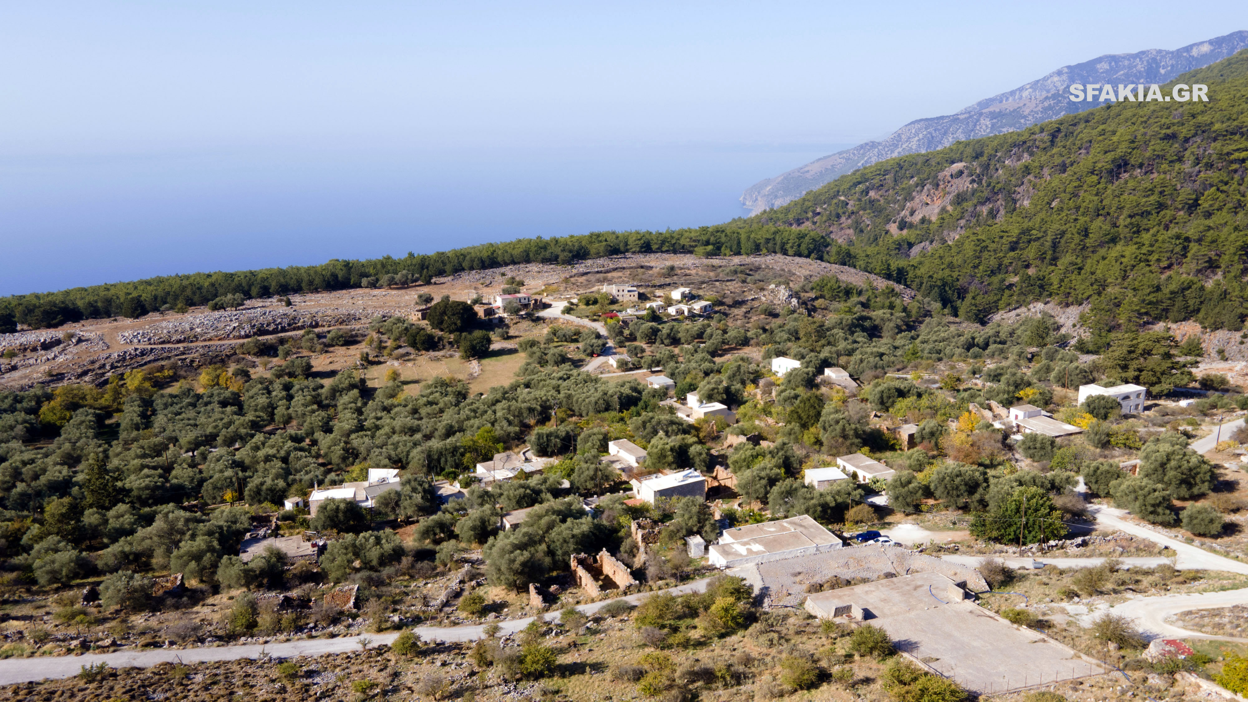
The residents of Agia Roumeli, moved to its present location from the old settlement located 2km north into the canyon after overflow of the river, which destroyed most of the houses in November 1954. The old town is now deserted.
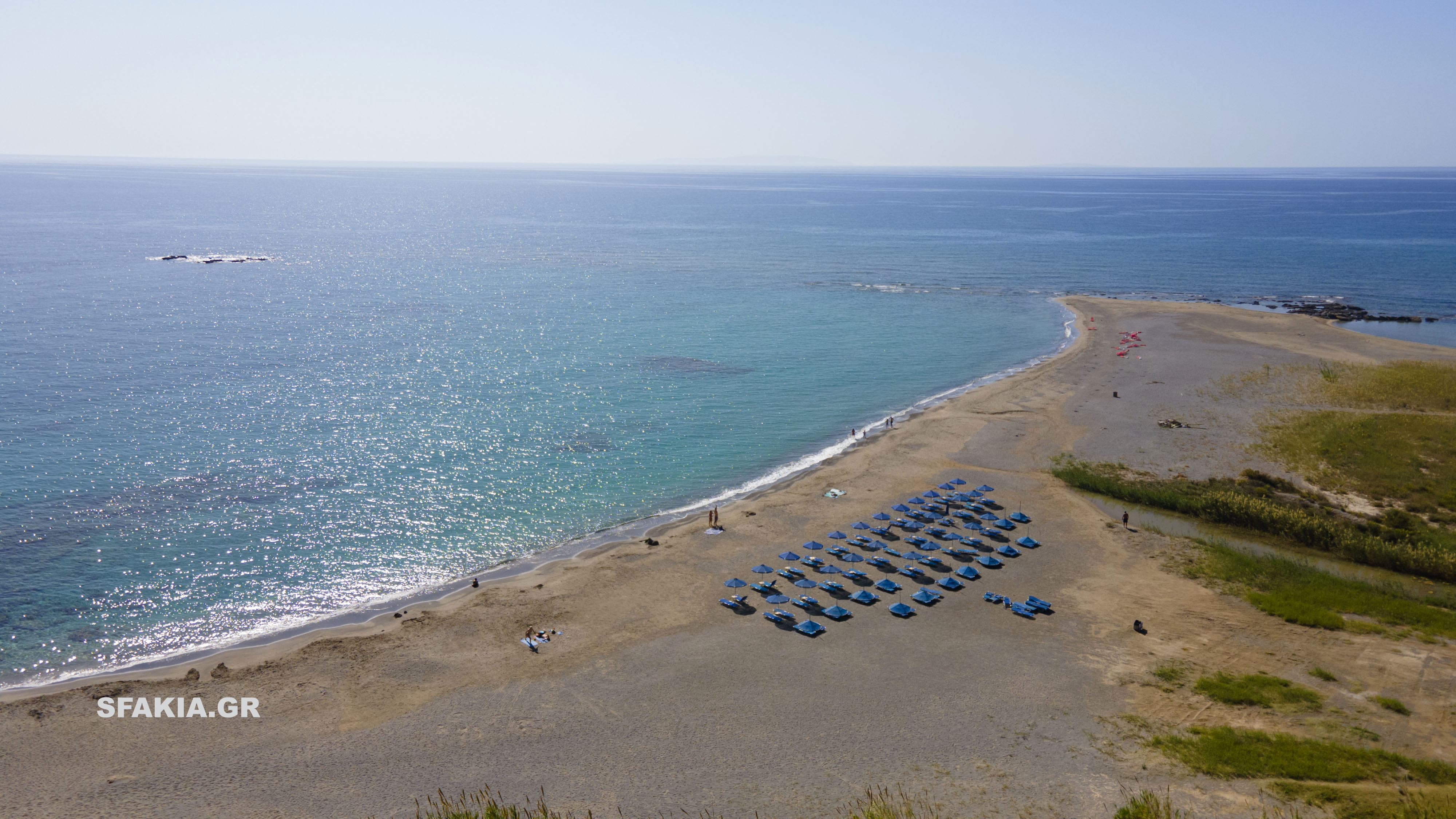
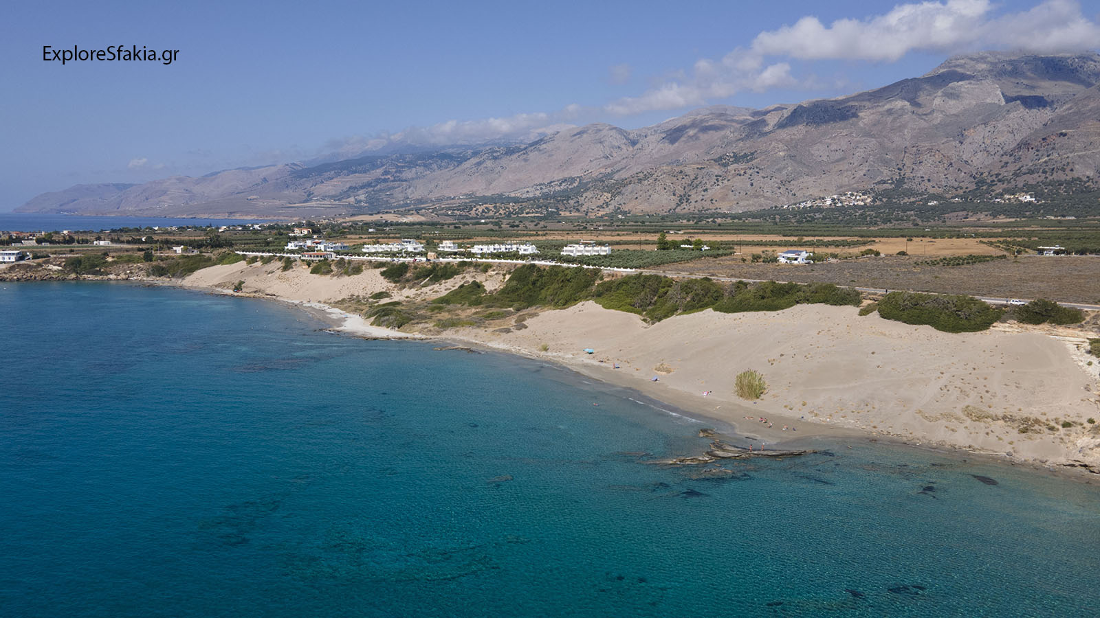
Access to Agia Roumeli is only by boat from Sfakia. Communication is daily with frequent summer and sparse winter. Here you will find rooms and apartments and restaurants. There is also a helipad and office. On the eastern edge of the canyon, near the exit, you can visit the beautiful church of St. Anthony. This church is built into the rock. The long pebble beach of the village with its turquoise waters, will offer you wonderful moments of relaxation! East of the village and after a half hour walk, you reach the secluded beach with pine trees of St. Paul to the Byzantine church. Continuing the path east at 3 kilometers you will reach the beach Marmara, where the output of the canyon Aradaina. West of the village there are two more beaches, the slotted loft where you can go walking to strenuous hiking or by boat.
Agia Roumeli is isolated in the arms of the White Mountains, tireless guardian of the gorge, as we call it here in Sfakia Samaria. It is ideal for those wanting peace and tranquility combined with exploring the wild beauty of the area. The coast of Sfakia and to Agia Roumeli Sougia, is the most unspoilt area of Crete, with a special relief of beaches, bays, mountains, caves and gorges, unique natural beauty and beauty. Of particular interest in the same area has the seabed and which you can browse on your own mask or organized by the dive center from Sfakia. In this region have their honor friends guests who have boat. The visit to Agia Roumeli, even for a day trip is a unique experience that will be unforgettable!
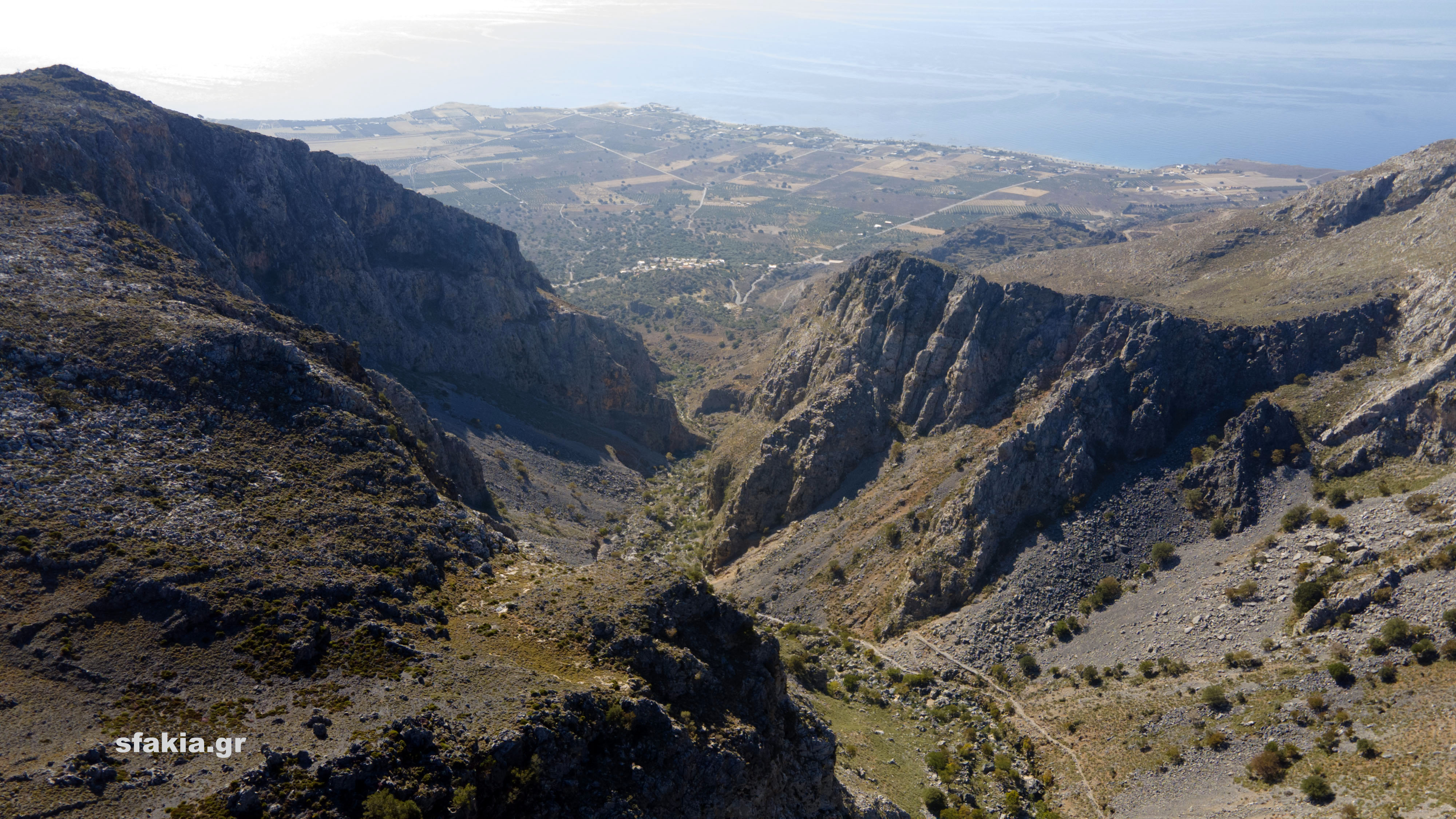
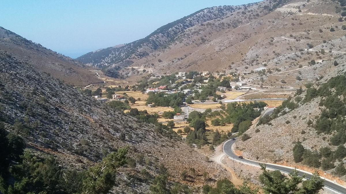
 The village is located west of Aradena 5 kilometers at an altitude of 800m. The road from Aradena to St. John, passes through a beautiful pine forest, one of the few in Crete, and offers a magnificent view of the waters of the Libyan sea from a great height and the massif of the White Mountains on the south side. The village followed and that the fate of Anopoli and Aradaina and was destroyed in 1770 and 1867. From here, some families fighters tried to flee to the White Mountains to secure Samaria Gorge.
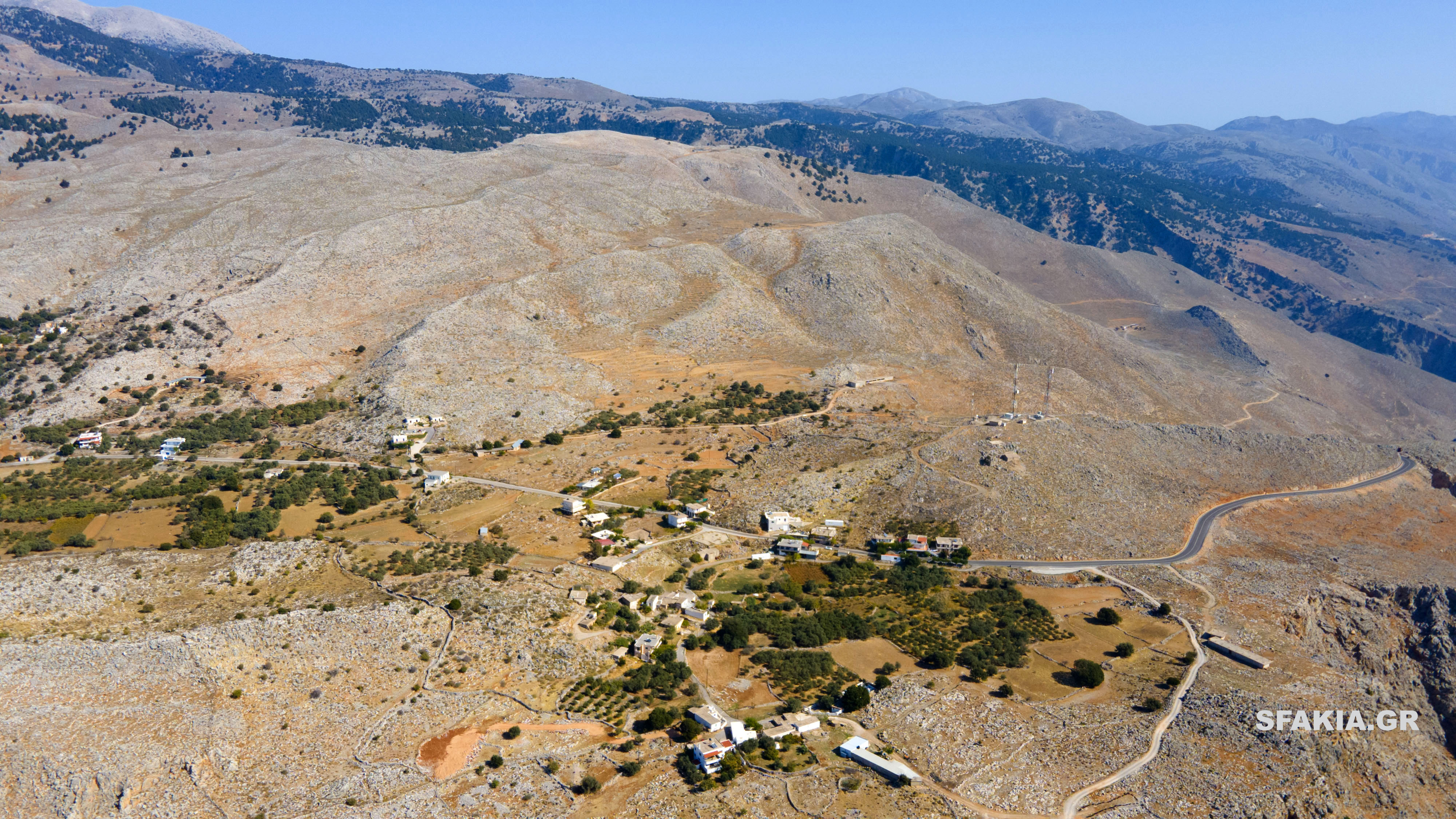 The plateau of the village, at an altitude of 600m. Access is from Chora Sfakia winding road 13km., Who climbs the steep mountains and offers breathtaking views of the rugged landscape and of the sea. The village is located near the site of ancient Anopoli, whose port was the Phoenicians Katopoli, the current bath. The ruins of ancient Anopoli, located on the hill of St. Catherine, to the west and southwest of the current namesake village. From this position, ensure full supervision of large areas of land, and the Libyan Sea. Its port, ensure maritime communication between East and West, as a stopover.
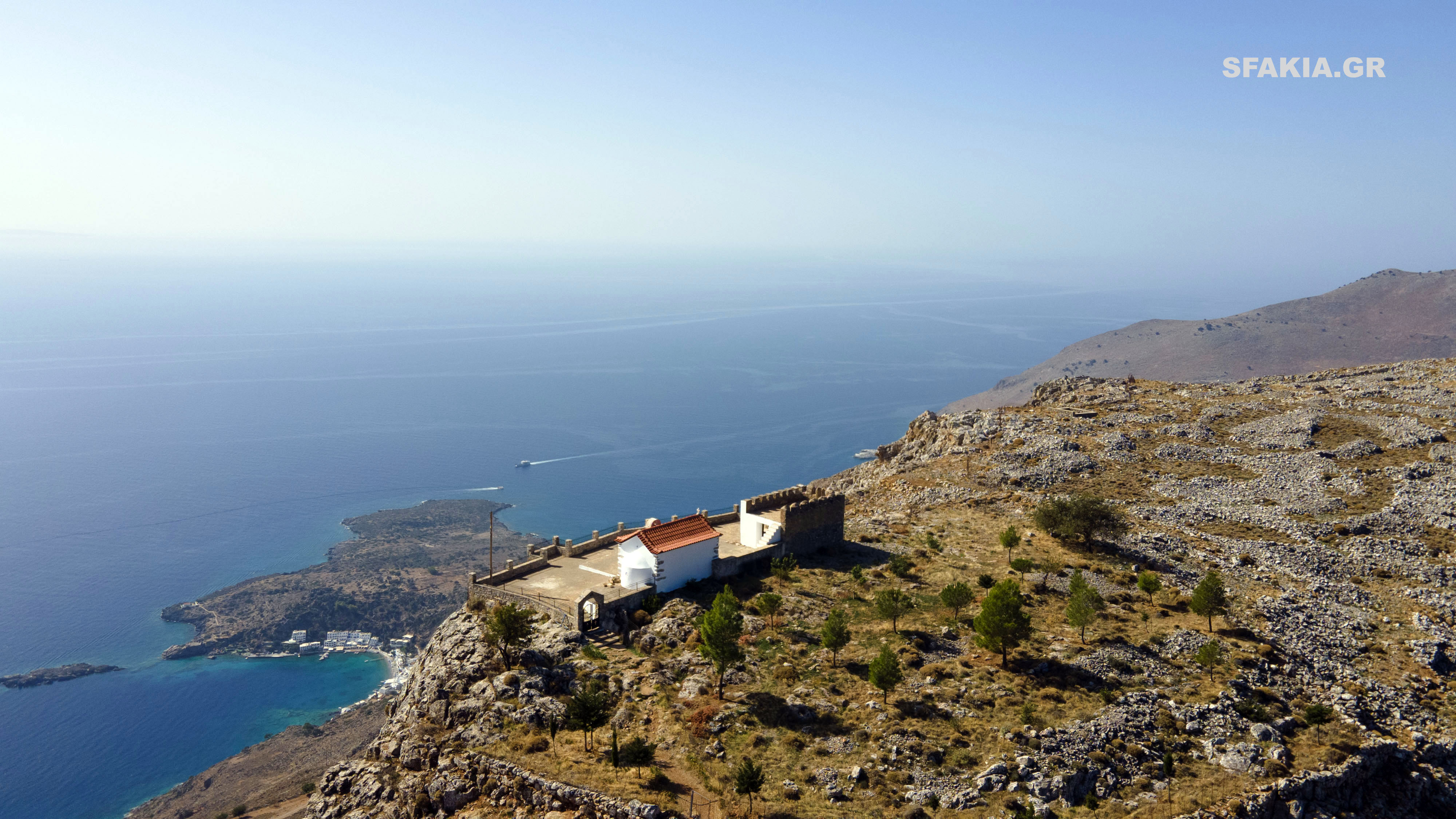
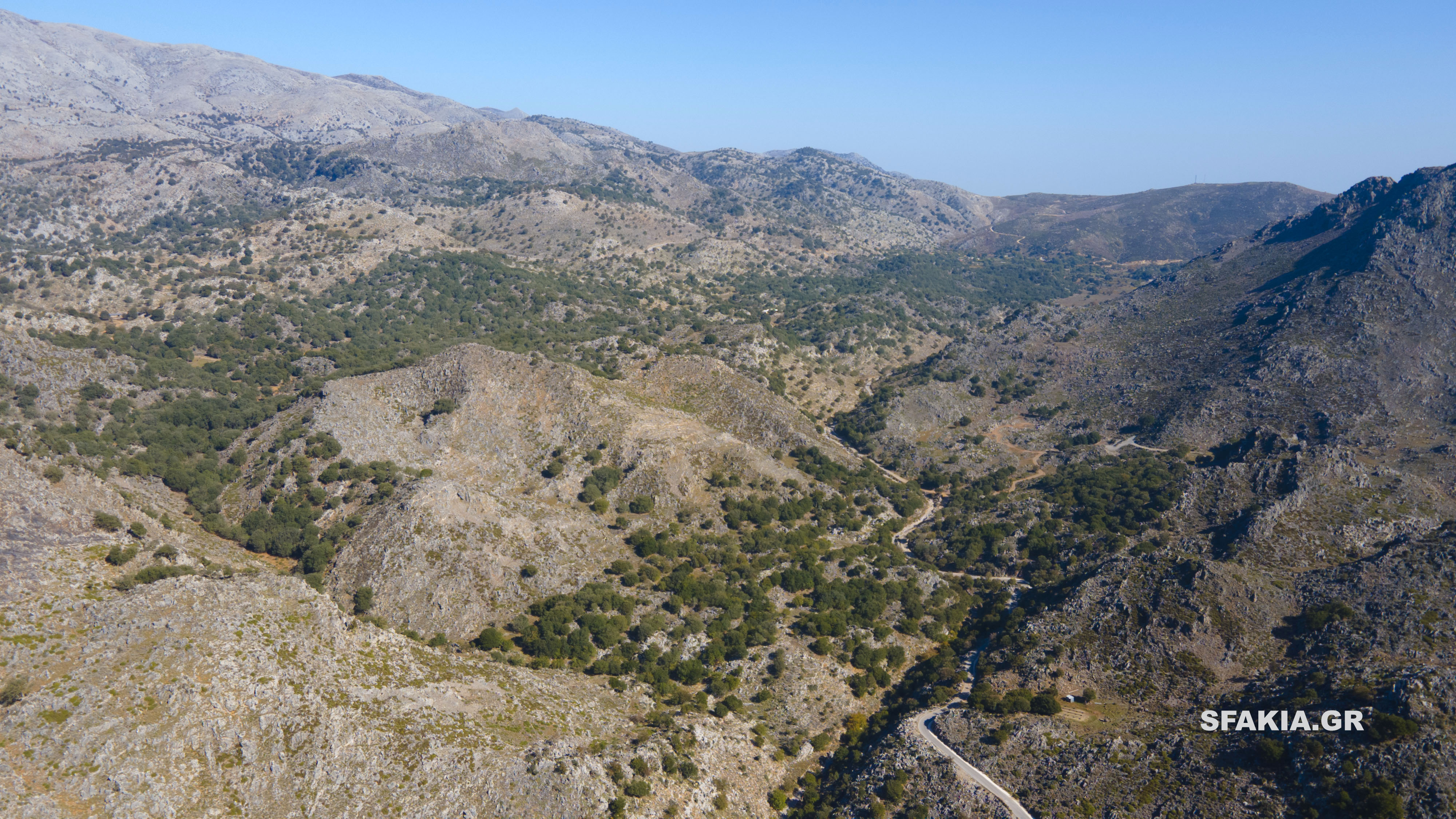
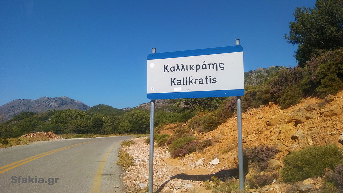
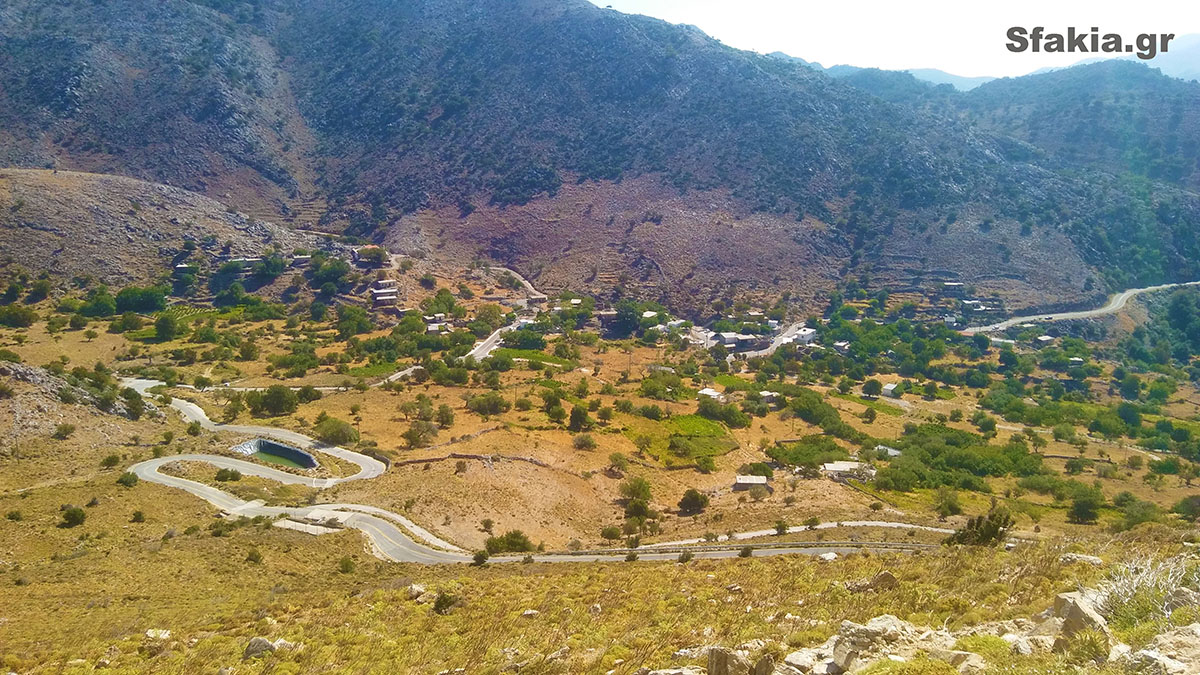 The Asfendou is mountainous village at an altitude of 770m and is on the road to Ibro Kallikratis. It was and is the summer residence of the inhabitants of coastal villages speechlessness, Nomikiana and St. Nektarios. The name comes Asfendamou trees in that area. The earliest reference Asfendou detected in the Ottoman period. The village was destroyed by Ottoman troops during the revolution of 1770 and the revolutions of the 19th century. The first census reports the village is 1832. The Asfendou gave heroes to all the liberation struggles of the nation. Residents' main occupation is farming and viticulture. Through the village starts very beautiful and easy gorge, which after about two hours walk ends at the village Agios Nektarios. Also here is the well-known cave Asfendou Skordolakia in place, with the famous rock paintings which date back to the Neolithic era 8.000p.ch. and is the oldest traces of habitation of Crete. Great feast is the Dormition of the Virgin Mary in the church that overlooks high above the village. The landscape is idyllic with great relief. From around the slopes overlooking the Libyan sea is breathtaking. The trip hike or drive will compensate you with a tranquil atmosphere and fresh air!
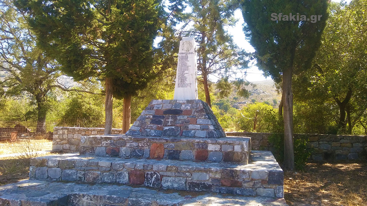
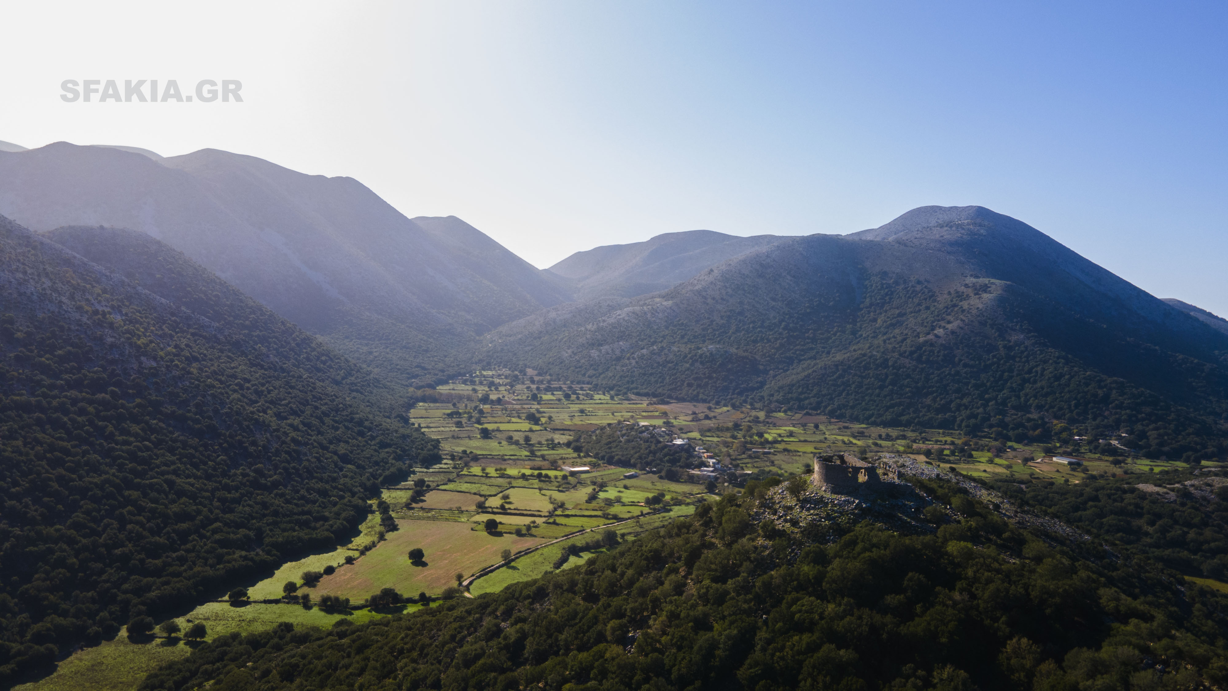 Askyfou located at the entrance north of Sfakia from Fountains. Located at an altitude of 730 meters and consists of a set of five small settlements in stone, amoudara the Stravorachi the angle (in and out) and the frame. Wild high mountains around and the peacefulness of the valley, create a lovely winter scene - summer! The plateau looks like a giant bowl, which in ancient Greek called Skyphos - Askyfou and winter dresses in white several times. The traveler of 19ouaionos Robert Pashley, when he visited the area, captivated and wrote that the plateau "surrounded by so imposing mountain peaks that provides the impression of a large amphitheater." It is likely that many thousands of years ago, the plateau Askyfou was a large lake. In the frame is monument honoring heroes Sfakian 1774. Four years after the revolution Daskalogianni and while the province was katestrammenii of tousTourkouss, Sfakians decide to take revenge and escape from the terrible Janissary Ibrahim Alidakis, the largest zooklefti and spoiling properties in Crete. The salient feature of this attack was that decided and executed in equal ground and from outspokenness leventopsyches Sfakianes Women. In a fierce attack on the tower in Emprosnero, overpowered the private army Alidakis and killed him. Here, in 1821 unfolded great battle between the Turks and the Sfakiots, which ended in victory for the locals. Unfortunately two years later, in 1823, Askyfou burned by Hussein Bey. A relic of that era is the small fortress still standing on the hill in the north-east of the plateau.
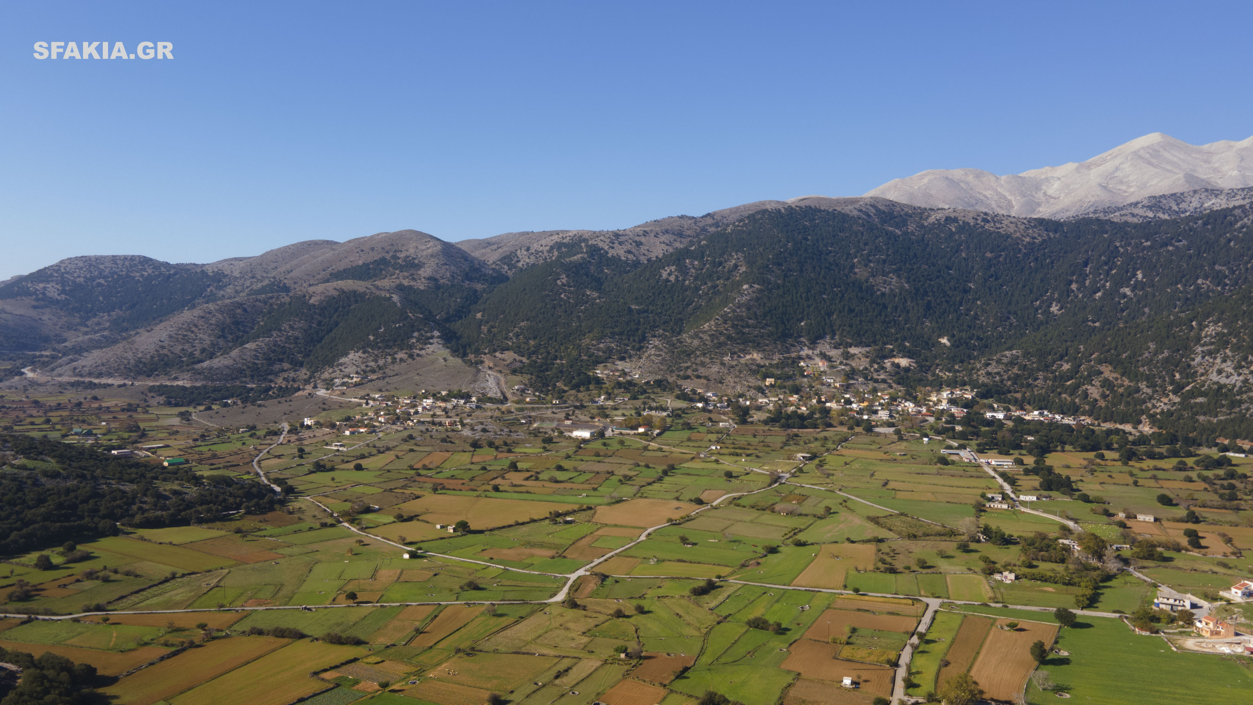


 Located in the foothills of the Lefka Oroi at an altitude of 780 meters in the homonymous plateau, and the road from Askyfou to Sfakia, Imbros village is a small mountain village of Sfakia with rich history, it still retains its picturesque character. Its name came from refugees who arrived here in 1479 from the island of Imbros, which owes its name to prehellenic Imvrassia (or Imvramo) god who symbolized the fertility of barren land. It consists of the districts Forest, Lepidiana, Nio village and relaxed. Birthplace of many fighters, repeatedly destroyed the years 1770, 1821, 1824 and 1827. The village stood to defend the captains, and Manoussakas Voloudis in 1770 and gave one of the most devastating battles of the revolution Daskalogianni. Value field and debt fell 300 militants while the enemies lost 800 warriors. The inhabitants engaged in farming and tourism. The Imbros is the birthplace of the great benefactor of Sfakia George XENOUDAKI, whose bust is in the area of the old school who now works as ADS. The same building is to be converted by the municipality museum in his honor. From here starts the title very well known and very beautiful canyon, which after about a half hour hike ends at the Libyan Sea in the village Komitades.